Providing expertise in surveying and mapping, supply and installation of geospatial software and research and training in public and private sector
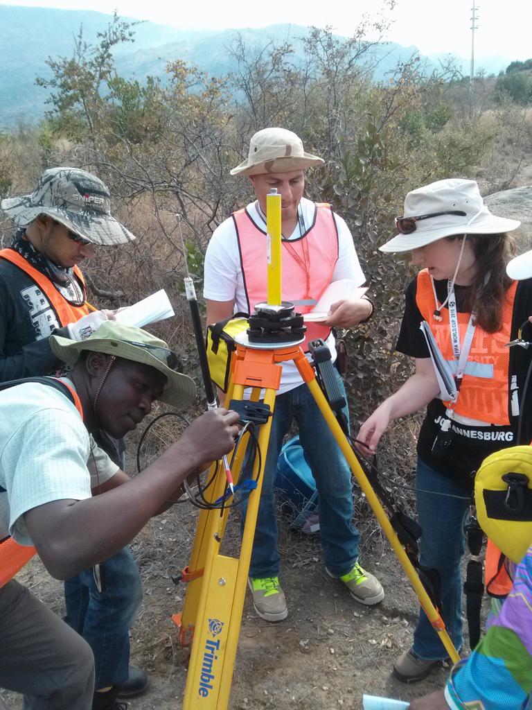
Surveying and mapping
and Offshore Operations
and Offshore output
About LandTek
LandTek is a geospatial services company whose aim is to provide robust geospatial data and solutions to clients in Tanzania and the world. We offer the full package of geospatial expertise from surveying and mapping, supply and installation of geospatial software as well as training
Our Services
We work on a wide range of geospatial engineering projects
Surveying and Mapping
Landtek Ltd industry-leading land surveying services provide a reliable foundation for a tremendous range of project types across the Tanzania.
Supply & Installation of Geospatial Software
GIS software lets you produce maps and other graphic displays of geographic information for analysis and presentation.
Training
Study land surveying and you’ll learn how to plot and analyse land, structures and natural resources. You could be using the latest Global Navigation Satellite System (GNSS, such as GPS) equipment one day
Our customer-first approach to business means that we provide the most accurate data and deliverables while adhering to our client's deadlines and budgets.
We have been providing professional land surveying services for over 8 years
We deliver fast, accurate data to give our clients the insight they need to move their projects forward with confidence.
Completed Projects
+
Hours Worked
+